Overview
Geographical Information Systems (GIS) are a major component of information technology – and if you're interested in pursuing a career in this innovative, exciting field, our GIS Master's course will give you the tools to succeed.
On this applied course, you’ll learn the fundamentals of using geospatial data for real-world solutions through a combination of practical work and background theory. You'll use the same software tools employed by professionals in the field, and find out how to apply practical GIS skills in a range of contexts.
The course covers all the essential areas of geospatial data analysis, including GIS, remote sensing and Earth observation, geodatabases, programming, and field techniques. You'll analyse spatial data through your own project work and build on your previous studies and work experience, applying data analysis methods and software tools to help solve real world problems.
Once you graduate, you'll be well placed to pursue a career as a GIS and remote sensing specialist. Our graduates have gone on to enjoy careers in local and national government, healthcare, environment and conservation, construction, energy, transport, heritage, space and satellite technology, and university-based research.
Course highlights
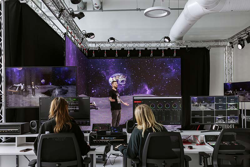
- Get hands-on experience of using Geographical Information (GI) instruments and emerging technologies, including GPS, Total Stations and 3D laser scanners
- Learn from experts with extensive industrial and consultancy experience and strong research portfolios
- Practise your GIS data collection skills, both in the field and in our GIS and remote sensing laboratory with its own dedicated GIS technical team
- Take part in three-days of fieldwork data collection at a National Trust conservation site with the processed data shared with the Trust to help inform their management practices
- Use licensed industry-standard software (Esri ArcGIS, ERDAS Imagine), processing techniques and datasets
- Learn image processing and spatial analysis techniques, including programming for GIS and remote sensing applications
- Complete a research project on a GIS topic of your choice, applying the principles of research design, data collection and analysis
- Hear from guest industry speakers including GIS and remote sensing analysts, town and city planners, digital cartographers, coastal managers who use GIS, and representatives of the space and satellite technology sector
Careers and opportunities
Once you complete this MSc Geographical Information Systems degree, you'll be able to apply your lab and field experience in small and medium-sized enterprises, global businesses or non-governmental organisations (NGOs). Alternatively, you could apply to do a postgraduate research degree in physical and human geography or earth and environmental sciences.
You'll use industry-standard software, and learn processing techniques, programming and database skils that employers are typically looking for in prospective employees.
Each year we organise a programme of guest speakers from industry to talk about thier work, new developments in thier field, careers paths and opportunities.
Graduates of this course have gone into areas such as:
- Environmental protection
- Surveying and statistics
- Telecommunictions
- Civil engineering
- Retail and hospitality
- Local and national government
- International charities
- Non-governmental organistations (NGOs)
- The NHS
- Banking, finance and insurance
- Transport planning
- Utilities
- Coastal management
- Space and satellite technology
- Cartography
- Software development
Graduates of this course have gone onto roles such as:
- Geographical information system consultant
- GIS and data analyst
- Location planning analyst
- GIS technician
- Software development engineer
- Spatial analyst
- Remote sensing analyst
Graduates of this course have gone on to work for companies such as:
- Ramboll
- South East Water
- Engenie Ltd
- Dominos Pizza Group
- Transport for London
- Esri
- ICEYE
- Fugro
- East Sussex County Council
- RPS Group
- CityFibre
- Tunbridge Wells Borough Council